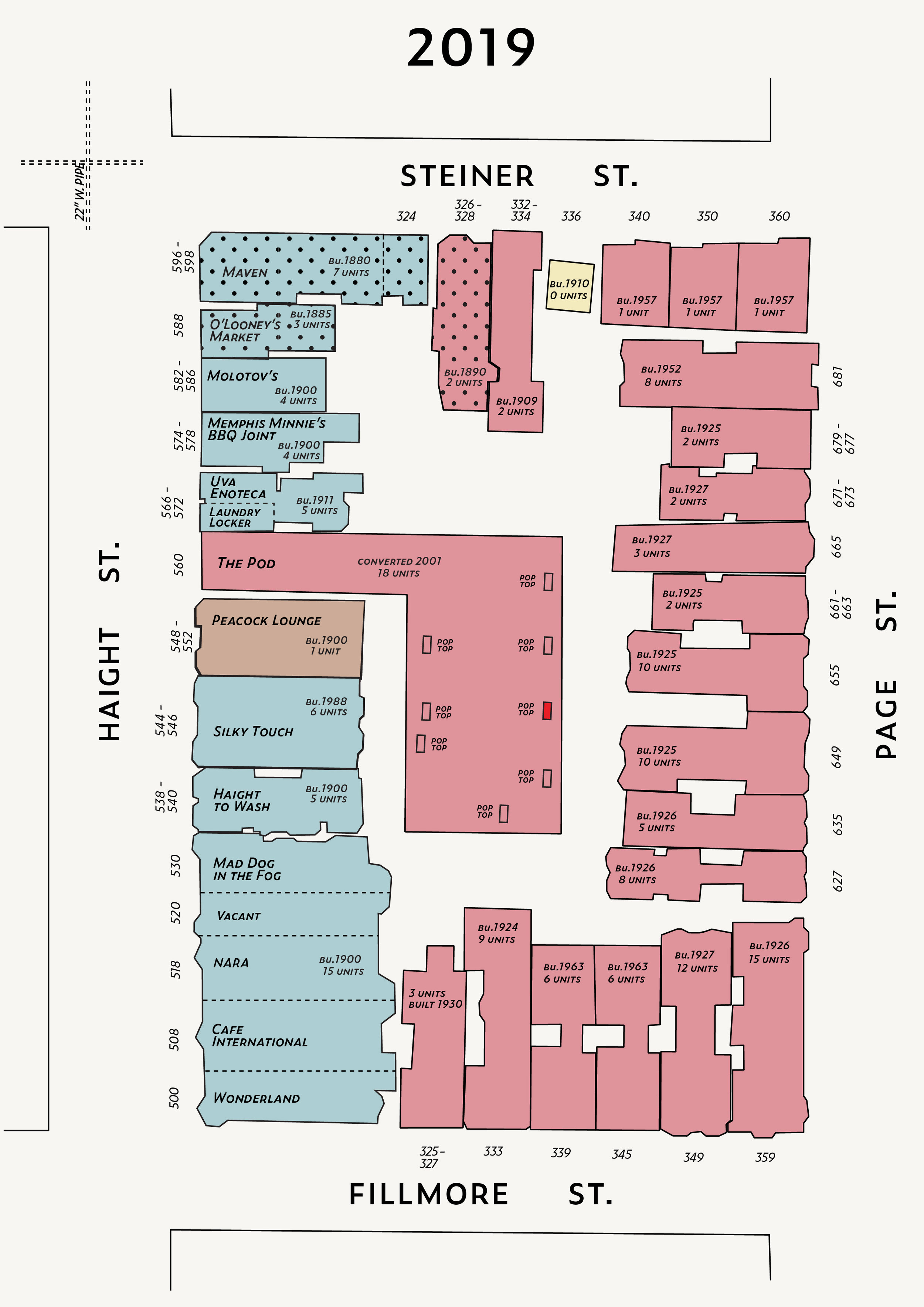
A City Block: Then and Now

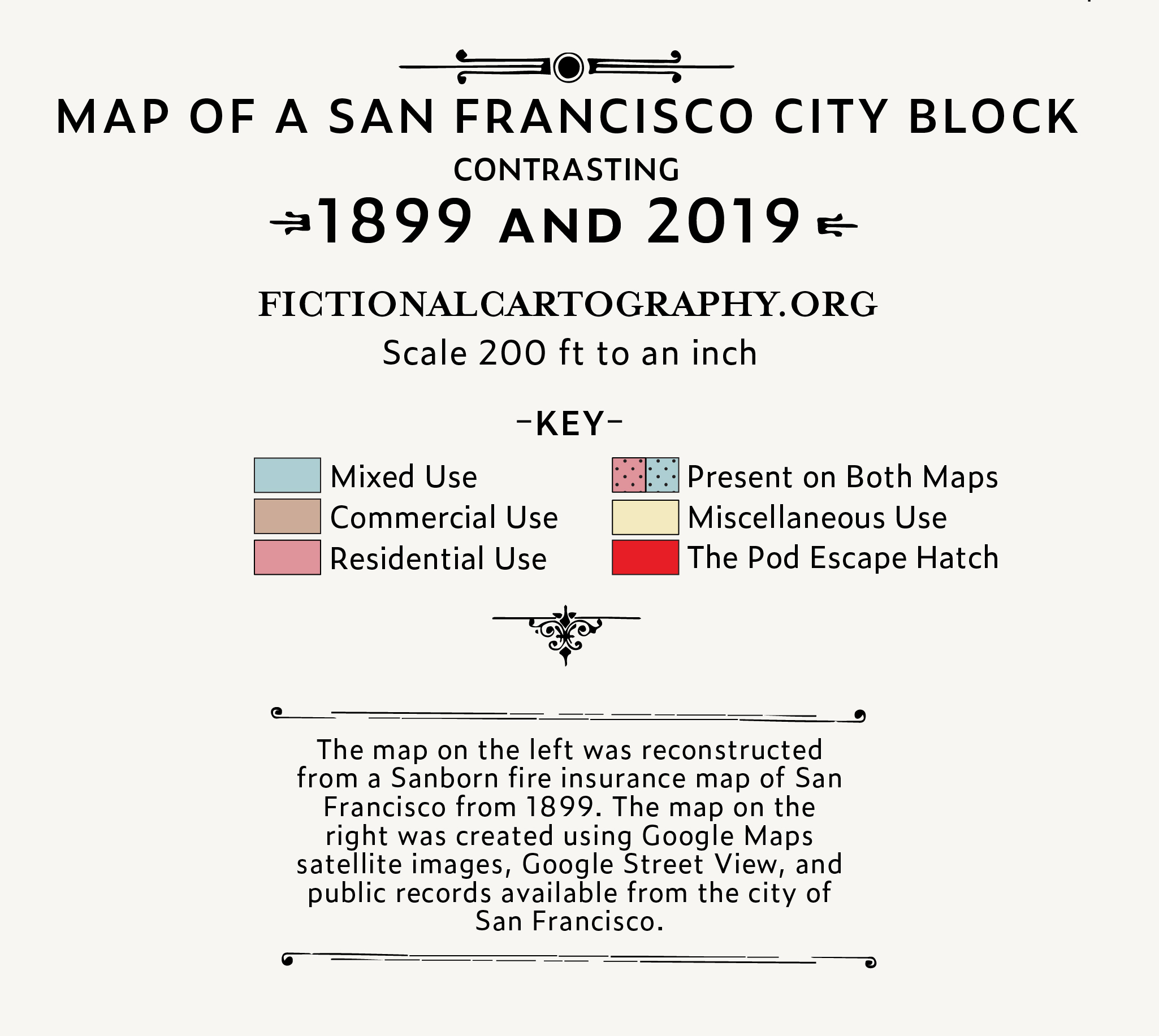
This map details a San Francisco block in 1899 and 2019. The 1899 version of the map is heavily inspired by a Sanborn Map of my block which I located in the Library of Congress database. The 2019 version was reconstructed from open-source mapping data and lots Google Maps satellite images zoomed way in.
This article that I wrote for the IDEO blog tells the story behind the story of how I created this map.